Making a historical family map (part 2)

After finding our John Gough and his wife, Susan McCloskey, in the 1861 Philadelphia city directory, we next needed to figure out where he was living. Nonnater’s Court, the name of his street in the directory, doesn’t exist anymore. So where exactly was it? I searched online using multiple search terms and phrases, but Nonnater’s Court didn’t turn up.

To figure out where it was, we went back to John and Susan’s listing in the 1860 census and then listed their neighbors on a spreadsheet. To make sure we had enough data points to figure out the location, we copied the 30 heads of households who appeared in the census before John and Susan as well as the 30 heads of households listed after our Goughs. This list was done in sequence to recreate their neighborhood.

Continue reading “Making a historical family map (part 2)”
Making a historical family map (part 1)

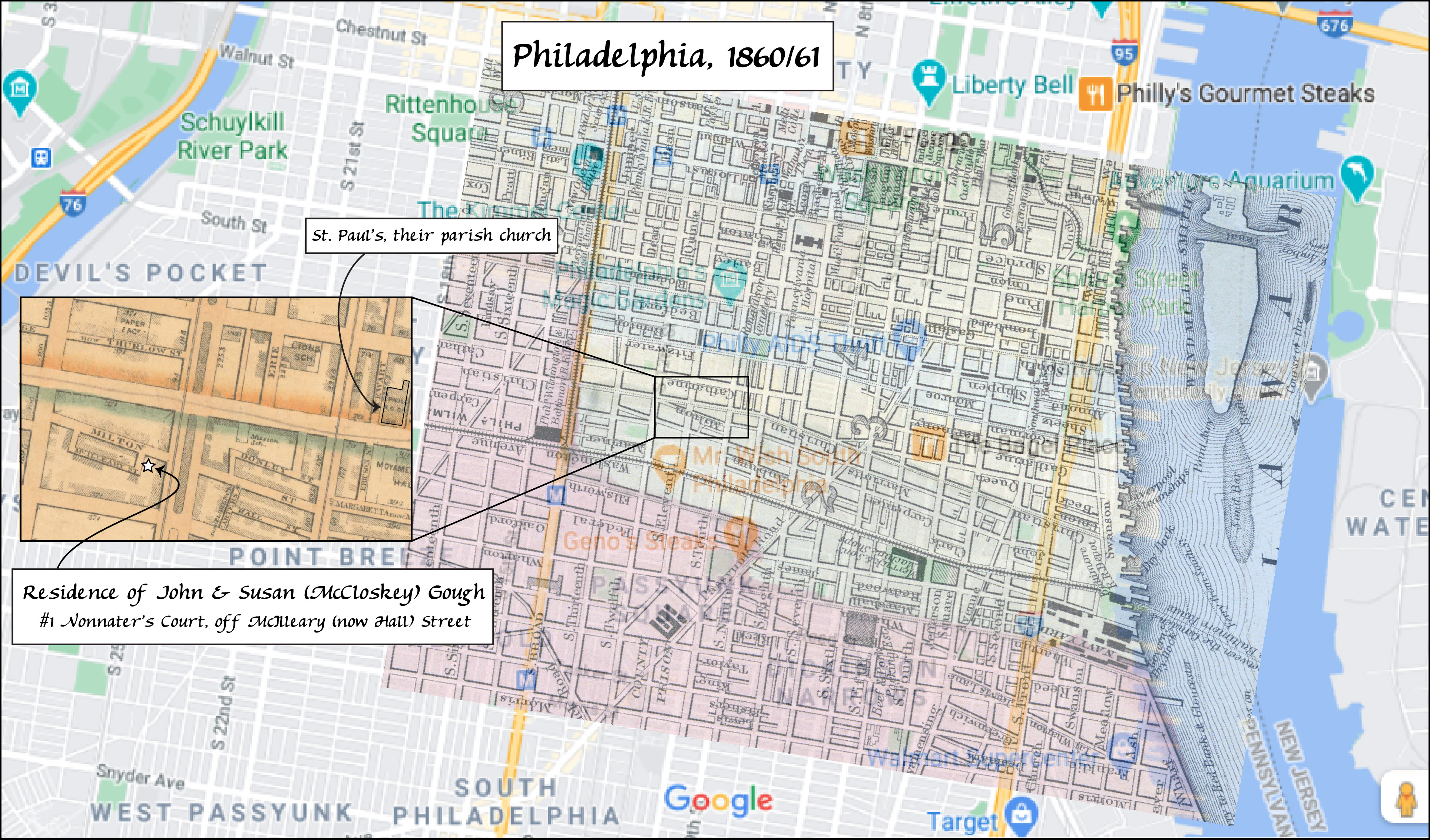
You may have noticed the map of Philadelphia on John Gough and Susan McCloskey’s family history page. Here it is:

Nonnater’s Court, off McIlleary Street, 1860 Philadelphia

This was a fun map to make because it incorporated three different maps, one modern image (the backdrop map) and two historical maps that were available online.

The first step in making any historical map showing where your ancestors lived starts with the obvious one of figuring out where exactly they resided at a given time.

Continue reading “Making a historical family map (part 1)”

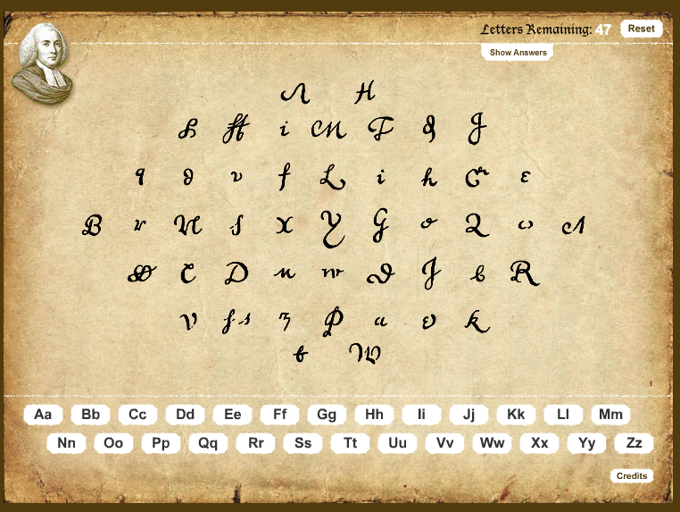
Try this online handwriting quiz!

This website quiz was a fun way to learn the unusual ways certain letters could be spelled in England and colonial America back in the 18th century and earlier. Some of the letters are incredibly hard to remember!

online handwriting match game
Try this matching game from Reed on colonial American handwriting!