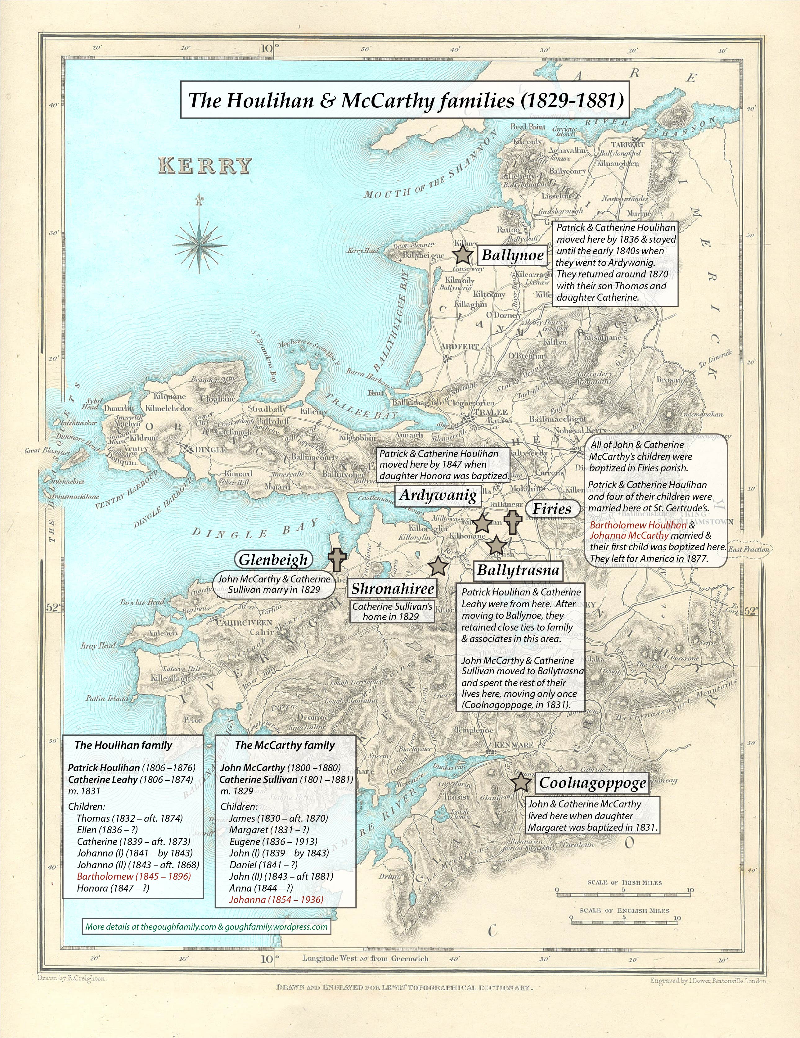
My latest project was creating a map showing where our Houlihan and McCarthy ancestors lived during the 19th century. It still could use a few tweaks but is pretty much done:


Following family trails from the New World to the Old
My latest project was creating a map showing where our Houlihan and McCarthy ancestors lived during the 19th century. It still could use a few tweaks but is pretty much done:

After pulling together a list of John and Susan Gough’s 1860 census neighbors and cross-checking them against the 1860 and 1861 city directories to get their addresses, it was clear that city officials had changed the names of quite a few of the streets in the older parts of town since they couldn’t be located in a search of online maps.
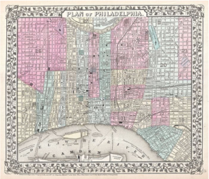
So it was time for an internet search to see what old maps of Philadelphia might be out there. Fortunately, there are a lot out there! This one, for instance, was very helpful in identifying the streets in the ward where John and Susan lived (Ward 2):

After finding our John Gough and his wife, Susan McCloskey, in the 1861 Philadelphia city directory, we next needed to figure out where he was living. Nonnater’s Court, the name of his street in the directory, doesn’t exist anymore. So where exactly was it? I searched online using multiple search terms and phrases, but Nonnater’s Court didn’t turn up.
To figure out where it was, we went back to John and Susan’s listing in the 1860 census and then listed their neighbors on a spreadsheet. To make sure we had enough data points to figure out the location, we copied the 30 heads of households who appeared in the census before John and Susan as well as the 30 heads of households listed after our Goughs. This list was done in sequence to recreate their neighborhood.
Continue reading “Making a historical family map (part 2)”