After pulling together a list of John and Susan Gough’s 1860 census neighbors and cross-checking them against the 1860 and 1861 city directories to get their addresses, it was clear that city officials had changed the names of quite a few of the streets in the older parts of town since they couldn’t be located in a search of online maps.
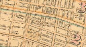
So it was time for an internet search to see what old maps of Philadelphia might be out there. Fortunately, there are a lot out there! This one, for instance, was very helpful in identifying the streets in the ward where John and Susan lived (Ward 2):
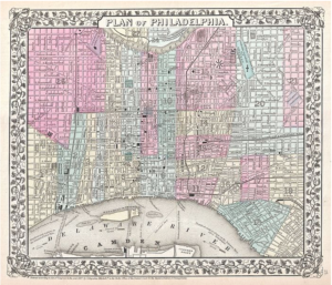
Obviously, I didn’t need anything quite this large so just did a zoom shot of Ward 2, which was the general neighborhood:
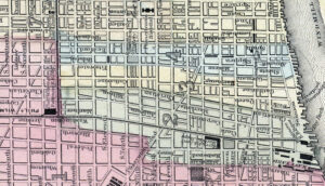
It’s a little hard to read because all the street names are upside down when the map is rotated according to standard practice (with north at the top). And clearly not every street is named because the map covers such a large area. Fortunately, the Greater Philadelphia GeoHistory Network has a series of historical maps that are overlaid onto a modern street map view. Even better, they’re zoomable to make it easier to read the details.
Two maps were the most helpful. The 1862 Philadelphia Atlas showed all the streets surrounding Nonnater’s Court, judging from the city directory and census lists. But it didn’t show anything remotely resembling Nonnater’s Court. Here’s what a screen shot of that map looks like:
So back to the website to see if another map might be more helpful. And one was: the 1875 atlas not only had street names but also building numbers, which was most helpful!
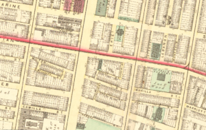
And zooming further in helped figure out exactly where Nonnater’s Court probably was.
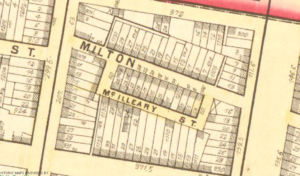
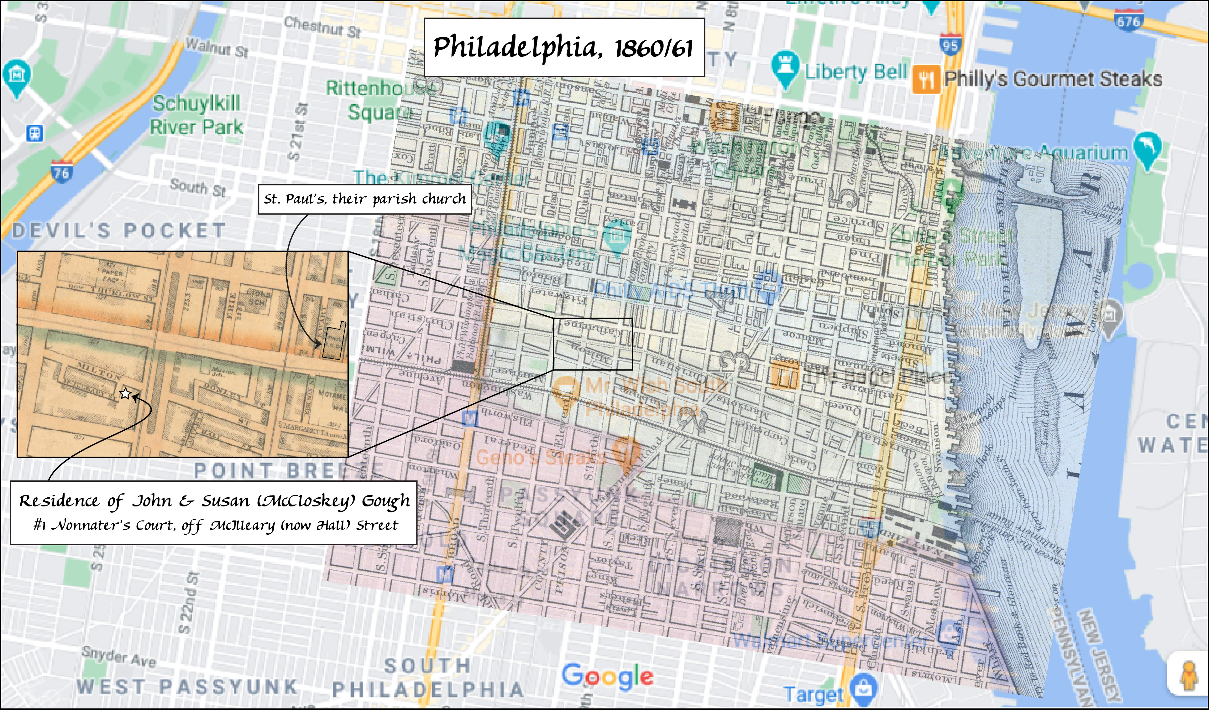
How? By comparing the specific addresses of the neighbors around John and Susan in 1860, it was clear that their home was somewhere on McAlravy (later McIlleary) Street and was surrounded by Milton, Miller (or Camilla), Christian, Ellsworth, 11th, and other streets. (Several of these street names have since been changed.)
Going back to a modern online map, and it seems logical to assume, in comparing the specific addresses from the 1861 city directory, that Nonnater’s Court was next to 903 Hall Street (the modern name for McIlleary). And indeed there is a small alleyway there, clearly visible on the map, leading to a little courtyard.
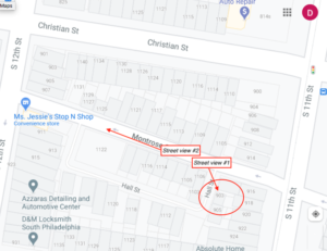
Google StreetView even lets us see what that neighborhood looks like today. The opening to the little alley next to 903 Hall is visible from the street (where the yellow arrow is pointing). (Sadly, StreetView doesn’t go down Hall Street so this is as close as we can get virtually.)
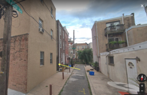
And this is what Milton (now called Montrose) Street looks like. It’s still just as narrow as it was back in 1860!

Layering the zoomed portions of the older maps onto a modern street map made it possible to create our map showing where John and Susan Gough lived in 1860.
